

Features GPS Mobile Navi
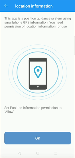
This application is a position guidance system that uses GNSS (GPS) inside the smartphone.Converts from latitude / longitude to a plane rectangular coordinate system and displays the difference in m units.Since guidance is performed according to the orientation of the smartphone, it is useful in surveying fields, construction fields, and navigation for heavy equipment guidance.・ I want to know the value of XY coordinates・ If it is latitude and longitude, the amount of difference cannot be known.・ I want to perform a reverse survey・ I want to find a reference pointThis is useful in situations where you need to convert latitude / longitude-> XY coordinates in real time.UTM is used as the calculation method for coordinate transformation.* When used in Japan, it is compatible with the World Geodetic System (WGS84) / Japan Geodetic System.
Secure & Private
Your data is protected with industry-leading security protocols.
24/7 Support
Our dedicated support team is always ready to help you.
Personalization
Customize the app to match your preferences and workflow.
See the GPS Mobile Navi in Action


Get the App Today
Available for Android 8.0 and above